
The Genesis Aphrodite’s Natural Trail starts and end in a village called Pissouri which is between the cities of Limassol and Pafos. It is a mixture of mountain and sea views while a big part of it feels like a costal walk, on the edge of a mountain which you’d think you can jump off (please don’t) and end up in the magical waters of the Mediterranean where as myth has it, Aphrodite was born.
It was a cloudy day when we decided to go on this hike and that worked in our favour. there in no cover on this hike and would suggest plenty of sunscreen, a hat and lots of water. We would class this hike as intermediate difficulty with some difficult downhill parts where the soil is loose and could provide for the perfect surface to slide and end up on your back side (this is talking from experience).
This is not a loop hike, meaning you start at one end, walk to the end and then you’ll have to walk back. We started from the end because the beginning has a nice pebble beach where we wanted to have a break half way through the hike. (Links to google maps points attached to the end and beginning words) So starting off on the edge of Pissouri village, walking on a dirt road for a while before turning left to take the path. There has been a genuine attempt to have signs showing where to go but we wouldn’t say it’s the easiest to follow. We use an app on my phone called Gaia GPS which is very helpful as it has these path nicely labeled and I tried using that to stay on track. Especially considering we love going off track while on our hikes to take some photos or little breaks.
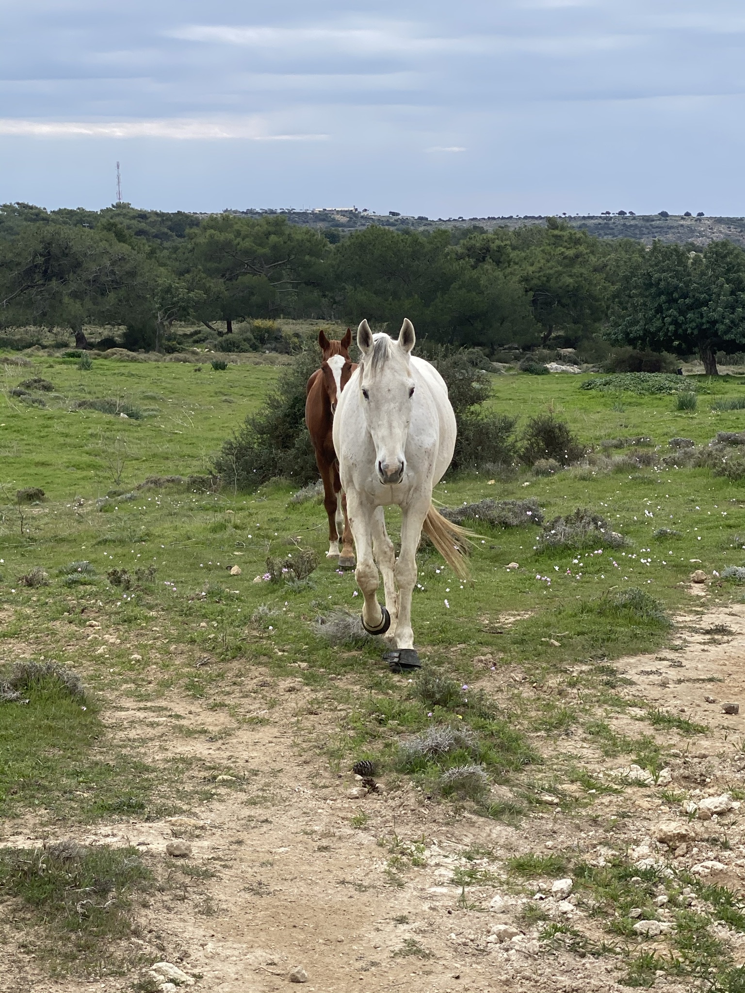
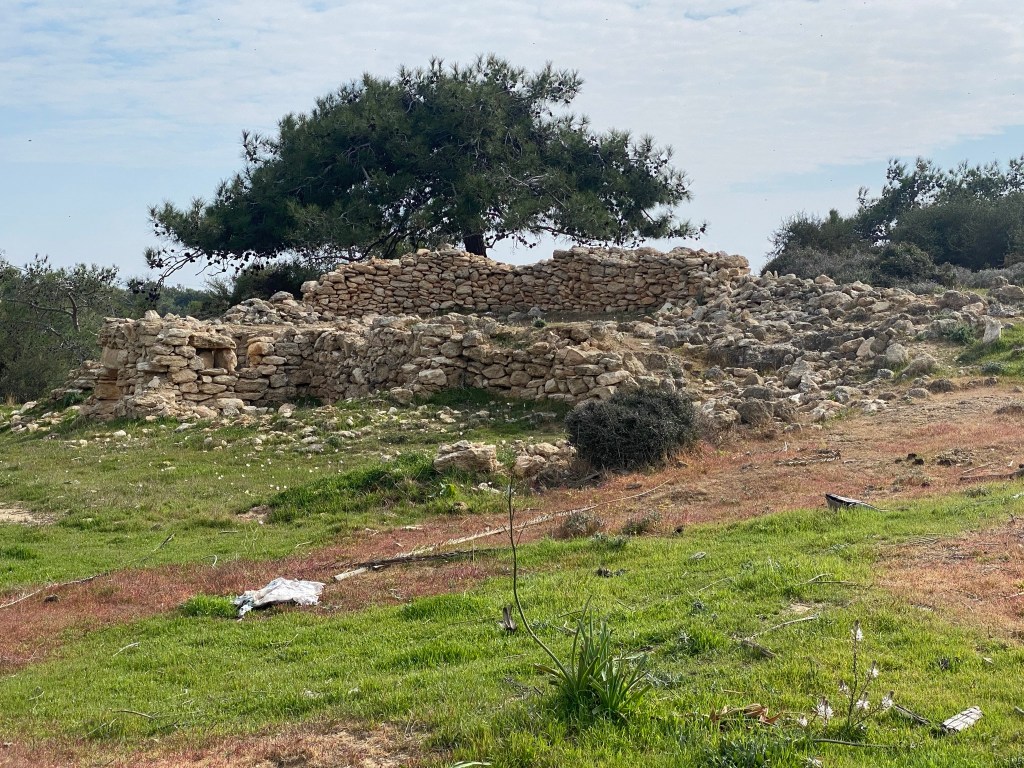
So…without further ado, let’s get onto the actual hike. It all starts from a nicely signed point which shows the path on a map (see gallery at the end). As mentioned above it’s not a loop so we knew we would have to come back the same way, what we decided to do was use the Gaia GPS app to go off course on our way back because we wanted a longer walk. In total our hike was 10.5 km. The first part of the hike is a dirt road with not much going on other than what looks like some ancient ruins, not sure if that’s the case, and some horses which made us happy. Animals always make us happy.
We kept moving thinking this was a bit boring, pretty straight dirt road, no amazing views. But boy were we wrong. We get to the point where the real trail starts (or should end if you do it the right way round). No clear path, very small signs pointing in a direction and in the same place the same sign pointing in the opposite direction, won’t blame anyone here for this as it’s a trail you’d have to come back on and signs pointing in both directions make sense.
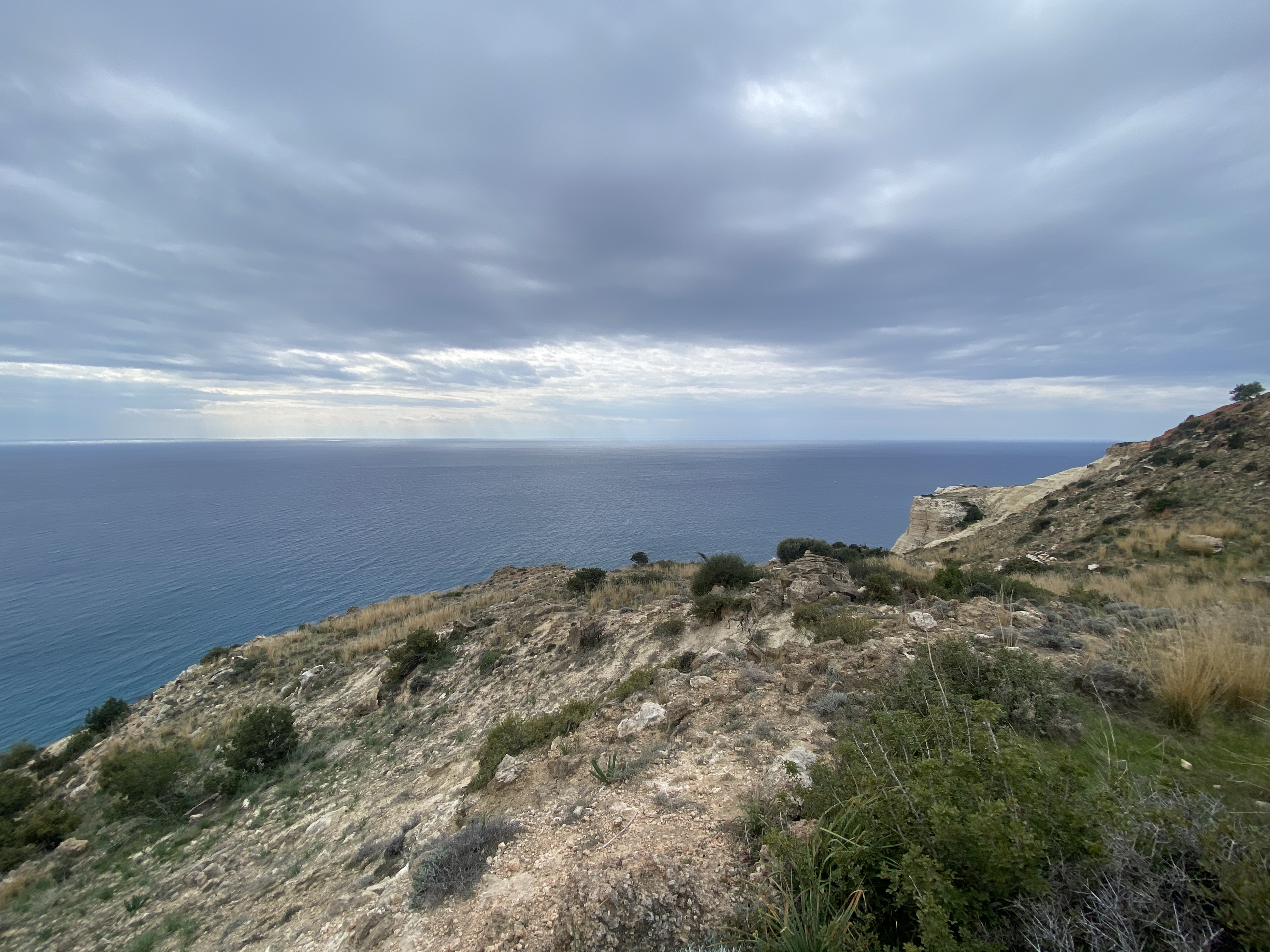
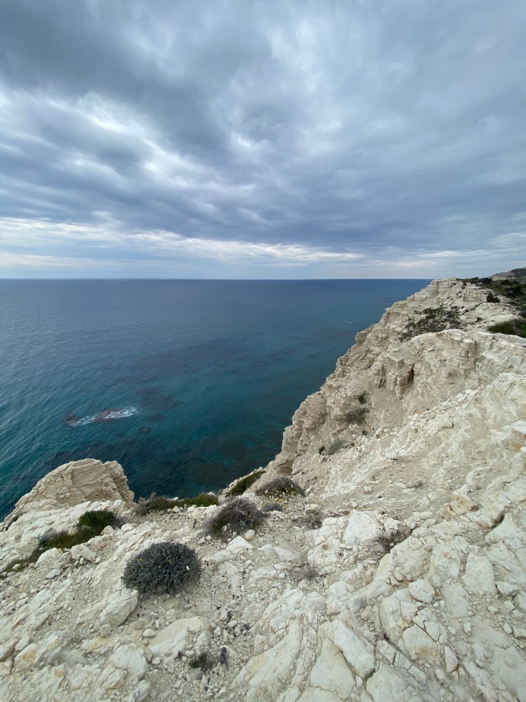
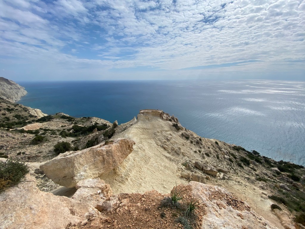
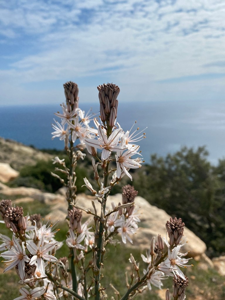
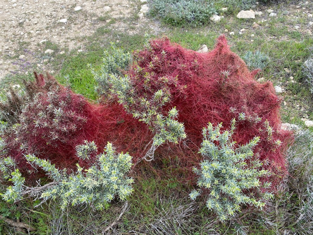
We kept on moving, it was mostly down hill on the side of a mountain and not sight of the beautiful coast we came here to see. Mountains all around us and QR codes you can scan with your phone to get information about trees and shrubs you come across. At some point we decided to go of course, go close to the coast and we did not regret it, the combination of the clouds, the silence which let the sound of the waves travel up to us was unreal.
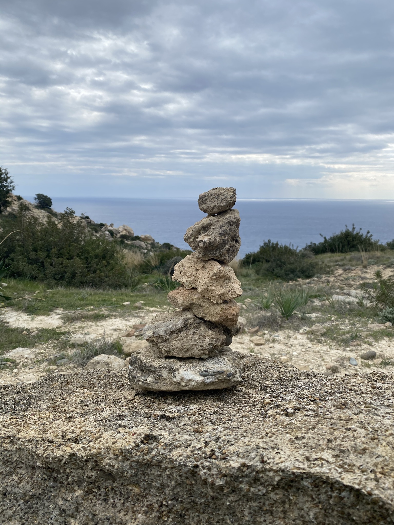
At this point I’m going to be side tracked a bit, a little side note on these stack of rocks you can see in the photo above. We decided to make one of these creations, it’s relaxing and fun and let’s be honest, in the right place the make for great photos. Once we had our fun we decided to look into it, we’ve seen them on hiking trails all over the world as well as Cyprus and learning a bit about it would be nice while we were having a 10 minute break to enjoy the view.
They’re called Cairns and we’ve linked a wikipedia article to the history of it because we don’t want to take over the blog post to talk about Cairns but we will say this. In modern times, they are used by hikers to communicated with other hikers that they are on the right track. This made us feel a bit bad, because we went of course to see the view and created one of these, anyone coming across it would think they’re on the right track which would not be true, so we took our photo and we “demolished” it before moving on.
After knowing the history of Cairns, we saw a few on our way knowing what they mean, while on a not very well signed hike, helped with our confidence that we’re on the right track.
Moving on…we kept on moving and got to a point on the trail that looked pretty flat, we went to the edge of the mountain towards the coast and it was truly amazing, being so high up, looking down to the Mediterranean, a peaceful moment of reflection.

We started moving on again and we start our decent to the beach, this is where is started getting a bit tricky. The loose soil, the stones and the steep down hill made it a bit of a challenge to get down, but it was fun. We went all the way down, got to the pebble beach, had our snack and started to make our way back up the mountain. Not much to say or show about the first part, as this is where we just came down from, it was just uphill and a bit heavy on the legs, but all part of what we signed up for.
We finally got to the end of the footpath and back onto the dirt road, we weren’t ready for this to finish so instead of going left to go back to where we started, we checked our map and saw there’s a path to the right that would loop and take us back to where we started earlier that day.
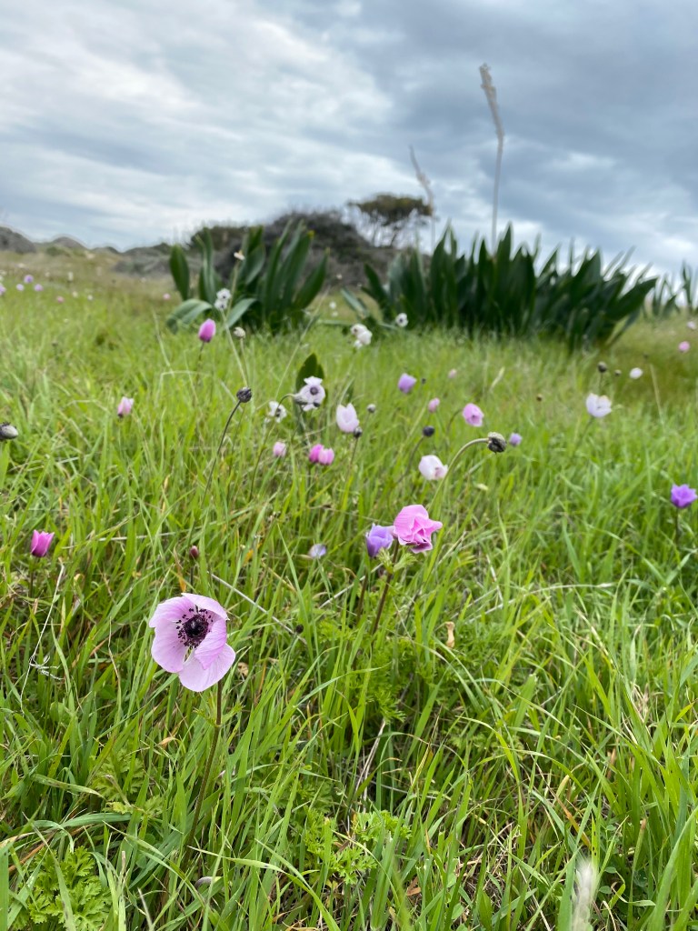
It was a very easy path, fairly straight, with more greenery and some Spring flowers while having the amazing views of the coast.

We finally made our way back along the path and to where we started. With a total of 10.5km on a cloudy day and some great views, it ended up being a morning very well spent.

One thought on “Genesis Aphrodite’s Natural Trail”